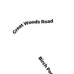
15 BIRCH POND DRIVE
Owner Information
BIRCHPOND LLC
14 ROBINSON PARK
WINCHESTER, MA 01890


Property Details
15 BIRCH POND DRIVE is classified as a Single Family Residential (Colonial).
The primary structure on this property was built in 2000. There are 3,736ft2 of built area within this property. There is 3,736ft2 of residential/living space within this property. This property is listed as having 9 rooms.
15 BIRCH POND DRIVE is valued at $844,700. The land is valued at $290,800 and the structures are valued at $553,900.
The most recent deed for 15 BIRCH POND DRIVE is recorded at the local registrar in Book 35907, Page 041. 15 BIRCH POND DRIVE was last sold on Wednesday, May 31, 2017 for $1.
Assessment data from fiscal year 2022.
Flood Data
According to the FEMA National Flood Hazard Layer, this property does not appear to be in a flood zone. It may also be in an area not yet reviewed. Nonetheless, confirm this information prior to taking any action.
To view the flood hazards around this property, create a FEMA "Firmette" Map of the area around 15 BIRCH POND DRIVE.
Broadband Internet Providers
| Provider | Type | Bandwidth (mbps) | |
|---|---|---|---|
| HughesNet | Satellite | 25 | 3 |
| T-Mobile | Fixed Wireless | 25 | 3 |
| GCI Communication Corp. | Satellite | 0 | 0 |
| Verizon New England Inc. | DSL | 5 | 0 |
| Comcast | Cable | 1000 | 35 |
| VSAT Systems, LLC. | Satellite | 2 | 1 |
| Viasat Inc | Satellite | 100 | 3 |
Broadband service provider data from December 2020.
Adjacent Properties
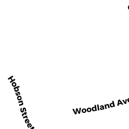
- 63 HOBSON ST
Single Family Residential owned by MACHADO FABIOLA D - 49 GREAT WOODS RD
Single Family Residential owned by NASCIMENTO JOEL B - 41 GREAT WOODS RD
Single Family Residential owned by BOCCHINO FAMILY IRREVOCABLE TRUST - 35 GREAT WOODS RD
Single Family Residential owned by ERICKSON SHARON L - 17 BIRCH POND DRIVE
Single Family Residential owned by LUZZO, ROBERT & VIRGINIA M. - 13 BIRCH POND DRIVE
Single Family Residential owned by THE ROSALIE M GIGLIO REVOCABLE LIVING TRUST